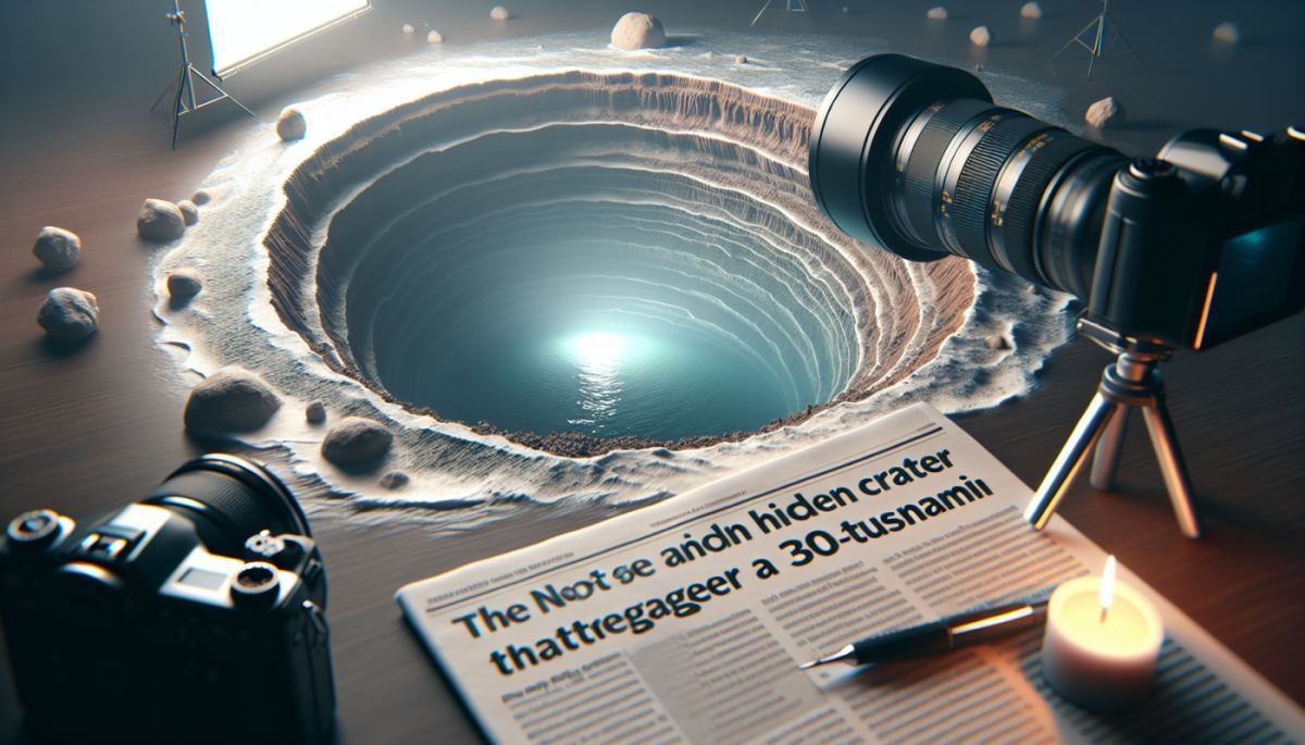
Beneath the gray chop of the North Sea, roughly 130 miles off the Yorkshire coast, lies a scar that took decades to explain. The Silverpit Crater, first identified in 2002 by oil industry geophysicists Simon Stewart and Philip Allen, sparked immediate controversy. Was it an asteroid impact? A salt dissolution feature? A gas blowout? For over twenty years, the debate simmered in academic journals without resolution. Now, a convergence of new seismic imaging and the discovery of shocked quartz minerals in rock samples has settled the argument: approximately 43 to 46 million years ago, a roughly 160-meter asteroid punched through the North Sea floor with enough force to send a plume of vaporized rock and water into the stratosphere and launch a tsunami exceeding 100 meters in height.
To put that wave in context, the 2004 Indian Ocean tsunami, which killed more than 230,000 people, reached heights of roughly 30 meters in the hardest-hit areas. The Silverpit event would have produced a wall of water more than three times taller. The Eocene epoch was a warmer, wetter world, and the shallow epicontinental seas covering what is now northwestern Europe would have acted as an efficient transmission medium, channeling energy outward in every direction. Coastlines that today host London, Amsterdam, and Copenhagen were, in that ancient geography, low-lying tropical shorelines. Whatever ecosystems existed there would have been obliterated within hours.
The smoking gun in this case came from shocked minerals, specifically quartz grains deformed by pressures so extreme they can only be produced by hypervelocity impact or nuclear detonation. These planar deformation features, as geologists call them, are the forensic fingerprint that separates cosmic collisions from every other geological process. Their presence in Silverpit core samples, combined with updated three-dimensional seismic mapping that revealed the crater's classic central uplift and concentric ring structure, removed the last serious objections from the skeptic camp.
The Silverpit debate dragged on partly because the crater sits beneath roughly 1,500 meters of younger sediment, making direct sampling expensive and logistically complex. The North Sea is also one of the most intensively drilled bodies of water on Earth, its subsurface carved up by decades of oil and gas exploration. That industrial history is, paradoxically, what made discovery possible in the first place. Stewart and Allen were working with seismic reflection data originally collected for hydrocarbon prospecting when they noticed the anomalous circular structure. The same commercial infrastructure that enabled the find also complicated it: proprietary data, competing interpretations, and the slow grind of peer review in a field where extraordinary claims demand extraordinary evidence.
There is a broader systems dynamic worth noting here. Impact craters on land erode, get buried by vegetation, and are frequently destroyed by tectonic activity. The ocean floor, by contrast, preserves them under accumulating sediment layers like pages pressed in a book. Scientists estimate that a significant fraction of Earth's impact history is hidden beneath the oceans, and the tools to find those craters, high-resolution marine seismic surveys, are largely owned and operated by energy companies with no particular incentive to share data with the planetary science community. Silverpit was a lucky accident. How many other craters are sitting unrecognized in proprietary seismic archives?
The confirmed impact age of 43 to 46 million years places the event in the mid-Eocene, a period already marked by significant climatic and biological turnover. The mid-Eocene saw gradual global cooling following the warm peak of the Early Eocene Climatic Optimum, and while no mass extinction has been pinned to the Silverpit impact specifically, the event adds a data point to a growing picture of how cosmic and terrestrial forces interact across geological time. A 160-meter impactor is not civilization-ending on a global scale, but regionally it would have been catastrophic, and regional catastrophes have a way of reshaping evolutionary trajectories in ways that only become visible millions of years later.
The second-order consequence worth watching now is methodological rather than geological. The resolution of the Silverpit debate demonstrates that legacy seismic data, collected for commercial purposes and sitting in corporate archives, may contain some of the most important planetary science discoveries of the coming decades. As machine learning tools become capable of scanning vast seismic datasets for anomalous circular structures, the pace of crater discovery is likely to accelerate sharply. The question is whether the scientific community can build the partnerships and data-sharing frameworks necessary to access that information before it is lost to corporate restructuring, data deletion, or simple neglect. The North Sea gave up its secret eventually. Others may not be so patient.
References
- Stewart et al. (2002) — Silverpit: The UK's First Known Meteorite Impact Crater
- Collins et al. (2005) — Earth Impact Effects Program
- Grieve et al. (2006) — Terrestrial Impact Structures: The Good and the Bad
- Schulte et al. (2010) — The Chicxulub Asteroid Impact and Mass Extinction at the Cretaceous-Paleogene Boundary

Discussion (0)
Be the first to comment.
Leave a comment