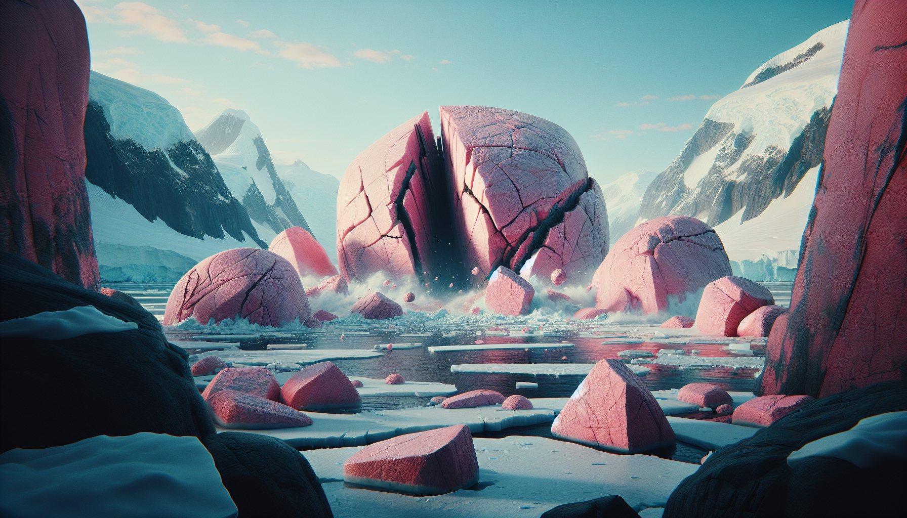
Pink granite boulders have been sitting on the surface of Antarctica's Hudson Mountains for decades, puzzling geologists who passed through one of the planet's most inhospitable landscapes. They looked out of place, geologically speaking, like furniture left in the wrong room. Now, a new study has revealed why: beneath Pine Island Glacier, one of the most closely watched and fastest-moving glaciers on Earth, lies a colossal granite mass nearly 100 kilometers wide and 7 kilometers thick, buried under ice and invisible to the naked eye.
The discovery began not with satellites or supercomputers but with the rocks themselves. Researchers dated the pink granite boulders to the Jurassic period, roughly 150 to 200 million years ago, placing their origin in a geological era when the supercontinent Gondwana was still breaking apart. That timing mattered enormously. Granite of that age doesn't belong at the surface in that part of Antarctica without a very specific explanation, and the explanation turned out to be far larger than anyone anticipated.
To find the source, scientists turned to airborne gravity surveys, measuring subtle variations in gravitational pull from aircraft flying over the glacier. Gravity anomalies are one of the few tools that can peer through kilometers of ice and reveal what lies beneath. The signal they detected matched the signature of a large, dense granite body sitting directly below the glacier's surface. The boulders, it turns out, had been carried to their current resting place by glacial movement, eroded from the buried mass below and deposited on the ice sheet's surface over geological time.
The implications of this discovery reach well beyond geological curiosity. Pine Island Glacier is not just any glacier. It is one of the primary contributors to global sea level rise, responsible for draining a significant portion of the West Antarctic Ice Sheet. Scientists have been watching it with growing alarm for years, tracking its acceleration and the retreat of its grounding line, the point where the glacier lifts off the bedrock and begins to float. Understanding what the bedrock actually looks like beneath the ice is not an academic exercise. It directly shapes how the glacier moves, where it is vulnerable, and how quickly it might destabilize.
Granite behaves differently from the softer sedimentary and volcanic rock that dominates much of West Antarctica's subglacial landscape. It is harder, less porous, and interacts with meltwater differently. A granite plateau of this scale could act as a kind of anchor or buttress, slowing the glacier's seaward flow in ways that existing ice sheet models have not accounted for. Alternatively, if the geometry of the granite mass funnels meltwater in unexpected directions, it could accelerate basal melting in localized zones, creating instabilities that models built on incomplete bedrock data would fail to predict.
This is the second-order consequence that deserves serious attention. The world's most sophisticated climate models use bedrock topography data to simulate how Antarctic glaciers will respond to warming ocean temperatures. If a granite body of this size was simply missing from those datasets, then every simulation run over Pine Island Glacier that didn't account for it was working from a flawed map. The discovery doesn't automatically mean prior projections were wrong, but it does mean they were incomplete, and in a system as sensitive as the West Antarctic Ice Sheet, incomplete information compounds.
There is something quietly humbling about this story. Antarctica is the most studied uninhabited continent on Earth, and yet a granite mass the size of a small country was hiding beneath one of its most scrutinized glaciers until a handful of pink rocks gave it away. The Hudson Mountains boulders weren't a clue anyone was actively chasing. They were an anomaly that sat in the literature, unexplained, until someone connected the dots.
That kind of discovery, driven by patient observation rather than targeted hypothesis, is becoming rarer in an era of big data and algorithmic science. It is also a reminder that the subglacial world of Antarctica remains genuinely underexplored. Bedrock mapping campaigns like BedMachine have made enormous progress, but coverage is uneven and resolution varies dramatically across the continent. Each gap in that map is a potential unknown variable in the equations scientists are using to forecast sea level rise for the next century.
As ice sheets continue to thin and expose more of their subglacial architecture, it is likely that more surprises are waiting. The question is whether they will arrive as discoveries made in controlled scientific conditions, or as unexpected behaviors in a glacier system that is already changing faster than many models predicted.
References
- Morlighem et al. (2020) — Deep glacial troughs and stabilizing ridges unveiled beneath the margins of the Antarctic ice sheet
- Rignot et al. (2019) — Four decades of Antarctic Ice Sheet mass balance from 1979–2017
- Joughin et al. (2014) — Marine Ice Sheet Collapse Potentially Under Way for the Thwaites Glacier Basin, West Antarctica
- Fretwell et al. (2013) — Bedmap2: improved ice bed, surface and thickness datasets for Antarctica


Discussion (0)
Be the first to comment.
Leave a comment